Data
Kāhala at a glance: the neighborhood by the numbers
Census figures for coastal Kāhala set against Oʻahu as a whole, with notes on what the numbers can and cannot tell you.

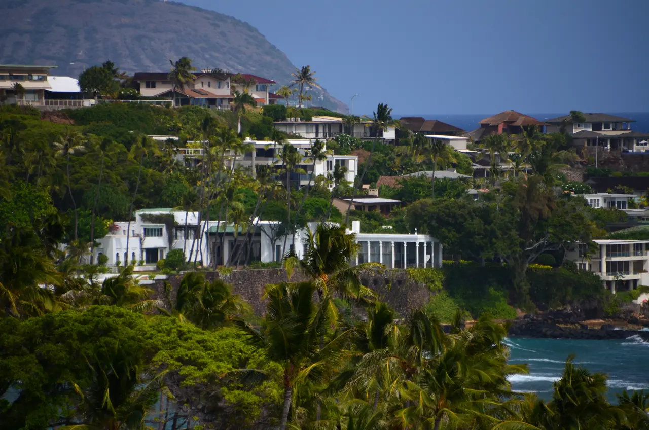
How does Kāhala compare with the rest of Oʻahu? The best small-area numbers come from the Census Bureau’s American Community Survey. The figures below are for Census Tract 5, which covers the oceanfront blocks of Kāhala along Kāhala Avenue, next to Honolulu County as a whole.
of occupied homes are lived in by their owners, against 60% across Oʻahu.
is the median age, about sixteen years older than the island’s 39.8.
is the median year homes were built, a decade earlier than Oʻahu’s 1977.
| Measure | Coastal Kāhala Census Tract 5 | Oʻahu Honolulu County |
|---|---|---|
| Population | 3,626 | 1,001,146 |
| Median age | 55.7 | 39.8 |
| Housing units | 1,754 | 374,304 |
| Owner-occupied homes | 79% | 60% |
| Median household income | $184,239 | $106,195 |
| Median home value (owner estimate) | $2,000,000+ | $897,500 |
| Median gross rent | $3,501 | $2,083 |
| Median year built | 1967 | 1977 |
Source: U.S. Census Bureau, American Community Survey 2020–2024 five-year estimates (tables B01003, B01002, B25001, B25003, B19013, B25077, B25064, B25035), via Census Reporter. “$2,000,000+” is the survey’s top reporting category: the median is at least that, and the exact figure is not published.
How to read these numbers
They are estimates. Survey figures for a tract of a few thousand people carry wide margins of error. Treat small differences as noise.
Home value is not a price. The Census asks owners what they think their home is worth. For actual sales, see monthly figures from the Honolulu Board of REALTORS®, summarized by our sister publication’s Kāhala real estate guide and Oʻahu market page.
Boundaries matter. Tract 5 is the coastal core. The wider Waiʻalae–Kāhala area, including the streets around Waiʻalae Country Club and the hillside neighborhoods of Waiʻalae Iki and Waiʻalae Nui, falls in other tracts and ZIP codes 96816 and 96821.
Who represents Kāhala
Kāhala sits in Honolulu City Council District 4 and in the area of the Waiʻalae–Kāhala Neighborhood Board, No. 3. Because seats change after elections, check the City Council and Neighborhood Commission sites for current members. More on our community page.
Questions readers ask
How many people live in Kāhala?
Census Tract 5, the coastal core of Kāhala, had an estimated 3,626 residents in the American Community Survey 2020–2024 five-year estimates.
What is the median home value in Kāhala?
In Census Tract 5 the median owner-estimated home value is in the survey’s top category, $2,000,000 or more (ACS 2020–2024). That is an owner estimate, not a sale price.
Do most people in Kāhala own their homes?
Yes. About 79% of occupied homes in Census Tract 5 are owner-occupied, compared with about 60% across Oʻahu (ACS 2020–2024).
What ZIP code is Kāhala?
Kāhala is in ZIP code 96816. The wider Waiʻalae–Kāhala neighborhood board area also overlaps 96821.
Spotted an error or have something to add? Write to jpg@jpghawaii.com. We correct mistakes openly.